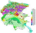
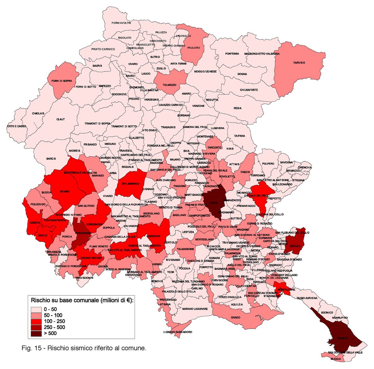
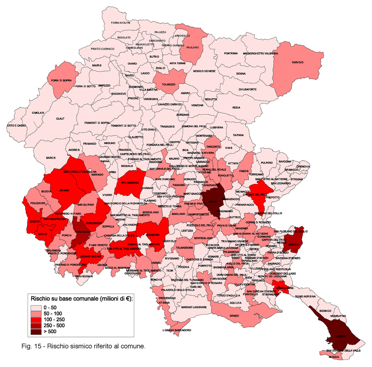
The regional seismic risk map is a strategic tool in planning interventions on old buildings. In fact, it shows the value in thousands of euro for the seismic retrofitting refers to census tracts of Friuli Venezia Giulia.
The risk map has been prepared jointly by the University of Udine, Trieste and OGS.
The L.R. 64/86 proposed to collect and process the many achievements of the Italian scientific research in the field of defense and regional earthquakes, in order to provide the Region of the essential elements for designing a strategy to reduce the seismic hazard, strongly oriented to the minimization of the relationship cost / benefit.
The risk map is thus a tool, designed to outline a strategy for the reduction of seismic risk, which shows the damage that can be caused to the property of a certain value (exposure) with a propensity to be damaged (vulnerabilities) from seismic events with a specific gravity (hazard).
Start - end project : 1998 - 2001.